The shallow Paleozoic bedrock and overlying glacial till in Guelph create sharp impedance contrasts that amplify ground motion in ways generic code maps cannot resolve. Our laboratory runs seismic microzonation campaigns that define site class from VS30 measurements and map spectral acceleration at the surface. The Halton Till, prevalent across the city, exhibits variable stiffness depending on matrix composition. We correlate MASW profiles with borehole logs and CPT test results to build shear-wave velocity models accurate to 2 m depth intervals, ensuring the response spectrum reflects local stratigraphy rather than regional averages.
A 15 percent difference in VS30 can shift site class and change the design spectral acceleration by over 30 percent under NBCC 2020.
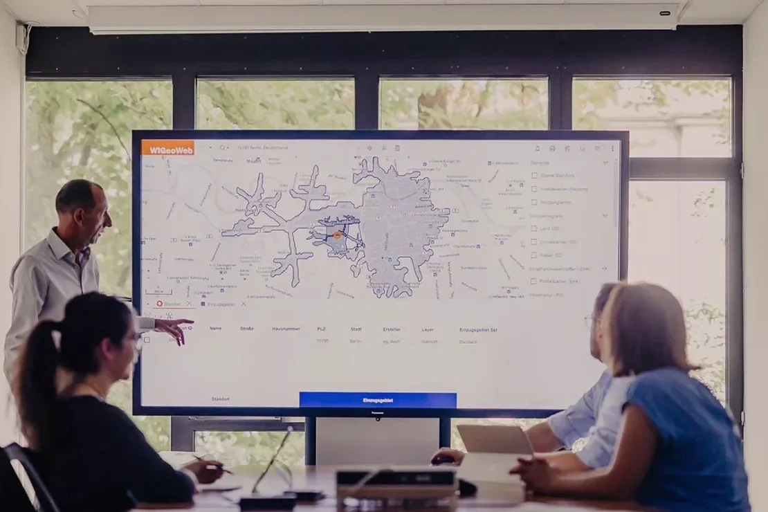
Scope of work in Guelph
Local geotechnical conditions in Guelph
One mid-rise residential project on piled foundations near the Eramosa River underestimated the fundamental period because the geotechnical report assumed a uniform Site C profile. Our microzonation revealed a 4 m lens of soft organic silt at 8 m depth that reduced VS30 by 22 percent and shifted the site to D. The structural engineer had to re-run modal analysis with amplified spectral ordinates. That lens did not appear in three SPT boreholes spaced 20 m apart. Seismic microzonation captures lateral variability that discrete boreholes miss. In Guelph, where glacial depositional environments changed over short distances, relying solely on point data risks misclassifying the site and under-designing lateral force-resisting elements.
Our services
Each microzonation project in Guelph is built around measurement, not interpolation. We select methods based on site access, target depth, and required resolution.
Surface-Wave Microzonation (MASW)
Active-source 24-channel acquisition with dispersion curve inversion. We extract VS30 and generate 2D VS sections along survey lines. Suitable for subdivision-scale mapping and site class determination under NBCC 2020. Combined with borehole stratigraphy to constrain inversion models.
Downhole Seismic Testing
Borehole-based measurement using triaxial geophone clamped at 1 m intervals. Direct arrival picking for P-wave and S-wave velocity. Used to calibrate surface-wave results and for sites where space constraints prevent geophone spreads. ASTM D7400 compliant.
Frequently asked questions
How does seismic microzonation differ from the generic site classification in NBCC 2020?
NBCC 2020 provides default site classes based on broad descriptions of soil and rock stiffness. Microzonation measures the actual shear-wave velocity profile at your specific parcel using MASW or downhole methods. The result is a measured VS30 value and site-specific response spectrum that accounts for local stratigraphy, impedance contrasts, and lateral variability. Two lots 100 m apart in Guelph can fall into different site classes if one sits on shallow bedrock and the other on thick Halton Till.
What deliverables do we receive from a microzonation study?
You receive a signed report containing 1D VS profiles for each survey location, 2D VS cross-sections along survey lines, mapped site class boundaries overlaid on a site plan, and spectral acceleration parameters (Fa, Fv) per NBCC 2020 Table 4.1.8.4.B and C. Digital files are provided in .dxf, .shp, and .pdf formats for direct use by the structural engineer.
How long does a typical microzonation campaign take in Guelph?
Fieldwork for a single-lot MASW survey with 3 to 5 lines takes one day. Processing, inversion, and reporting require 5 to 7 business days. Larger subdivision-scale campaigns covering 5 to 20 hectares take 3 to 5 field days plus 10 to 15 business days for interpretation and mapping. Downhole testing adds one day per borehole.
What is the approximate cost range for seismic microzonation in Guelph?
Cost depends on the survey area, number of MASW lines, and whether downhole calibration is required. 200. 510. Each quote includes field acquisition, geophysical processing, inversion, and the signed engineering report.